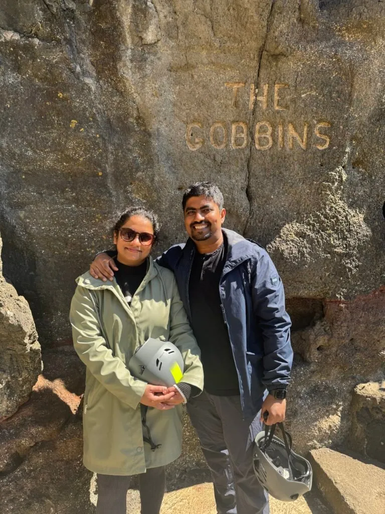
It is finally spring in Northern Ireland. The threat of sudden rainfall never really goes away, but it’s sunnier than usual. We decided to take advantage of the good weather last weekend, by venturing outdoors see a part of the country we haven’t seen before. We had planned the excursion a few weeks in advance. Our destination was The Gobbins.
It’s not so unusual as Irish/Northern Irish place names go. The Gobbins, from the Irish Gobán, meaning “headland,” is aptly named. It is a walk along the basalt cliffs of the north coast of the country, promising wonderful views and more than a sense of adventure.
Neither of us can drive (yet—I’m currently taking lessons. Don’t ask me how they’re going) so the first consideration when we pick a day out is how easy it is going to be to get there with public transport. A train ride from the city and a short walk will get you to The Gobbins in about an hour—we had picked well.
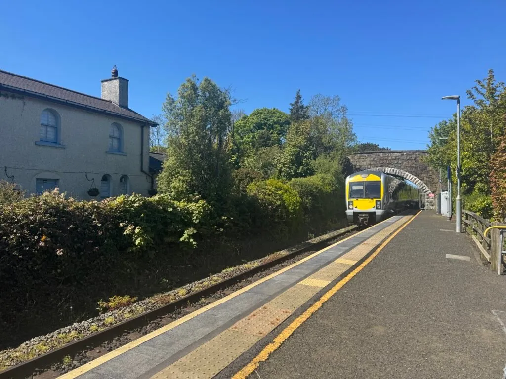
We made our way to the Botanic train station in Belfast on Saturday morning, to catch the 8.20am train to Larne. Our stop was Ballycarry, just a few miles outside Larne, and from the station we walked for 20 minutes to get to The Gobbins Visitor Centre.
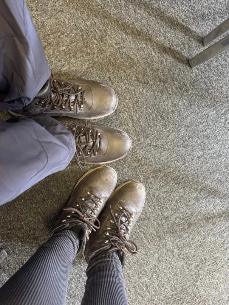
The cliff walk is not something you can do on your own. To access the path, you first have to book a guided tour through the visitor centre’s website (they sell out weeks in advance.) Upon checking in, you are given hard hats and a safety briefing. Hiking boots are mandatory, too. If you don’t have any, you can hire a pair for £5.
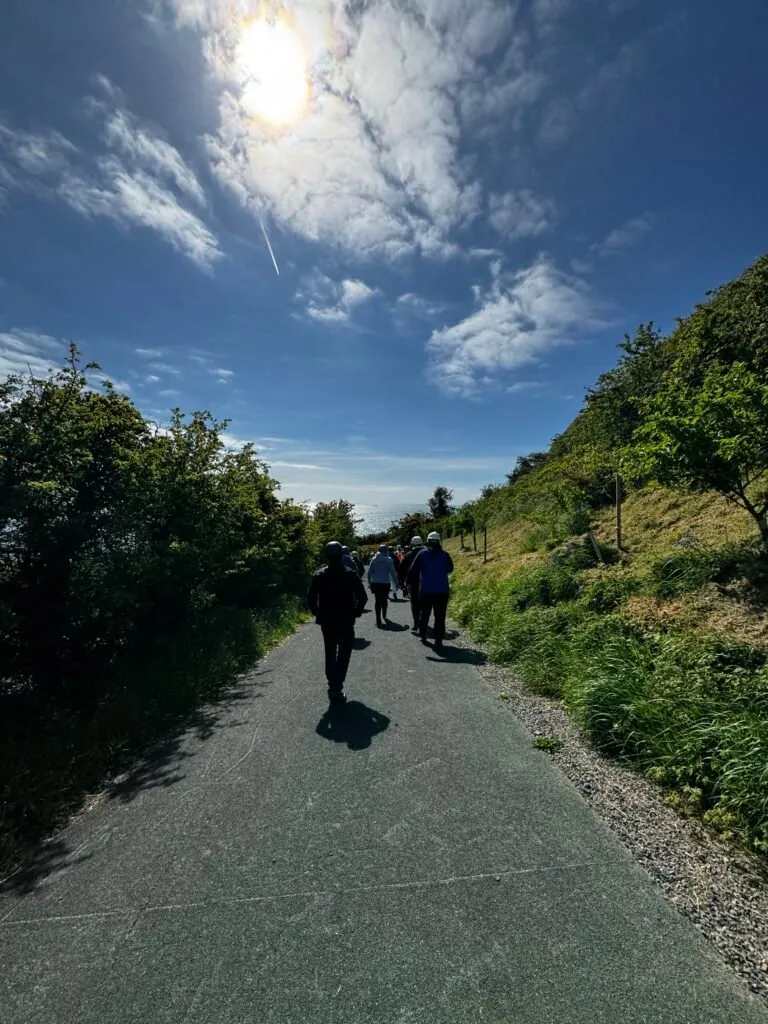
Once the formalities were dealt with, we were taken to the starting point of the walking path on a shuttle bus. There were 12 other people on the tour with us.
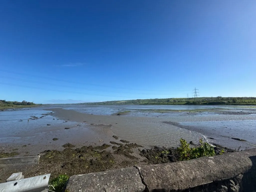
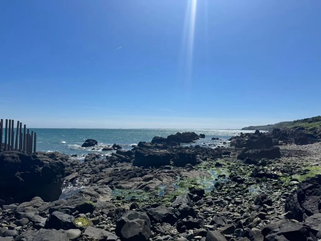
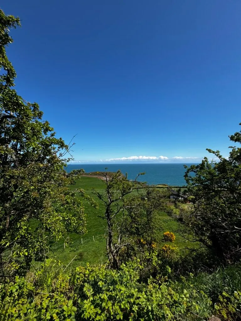
The walk begins on a craggy shore, past a few farms. On a clear day, like the one we were fortunate enough to do this on, you can see Scotland’s Mull of Kintyre on one side of the horizon, and Northern Ireland’s own Bangor on the other.
The entrance to the walking path is closed off. The padlocked gate can only be opened by a guide, and once you enter through Wise’s Eye—a hole bored in the rock, named after the path’s creator Berkeley Deane Wise— it is clear why it remains under lock and key.
The original path was paved on the cliff face by chiseling away at bare rock by hand, and building bridges across certain sections. The path opened in 1902. Some of the original wrought iron fenceposts and supports can still be seen along the path, although it is now secured with new fencing and bridges made with marine-grade steel. Even with modern safety precautions, carelessness can cause serious injury on the path.
The story of the path’s conception is quite fascinating, and there’s a great roundup of it on the visitor centre’s website here.
The cliffs are home to a variety of birdlife including the extremely elusive puffins (we didn’t see any), guillemots, razorbills and kittiwakes. We were hoping to see a dolphin or two in the water, but we weren’t quite so lucky.
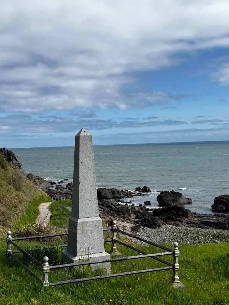
The walk took about 2 hours in total, and our guide was with us the whole time. The views were indeed incredible, and the photos below don’t do them justice.
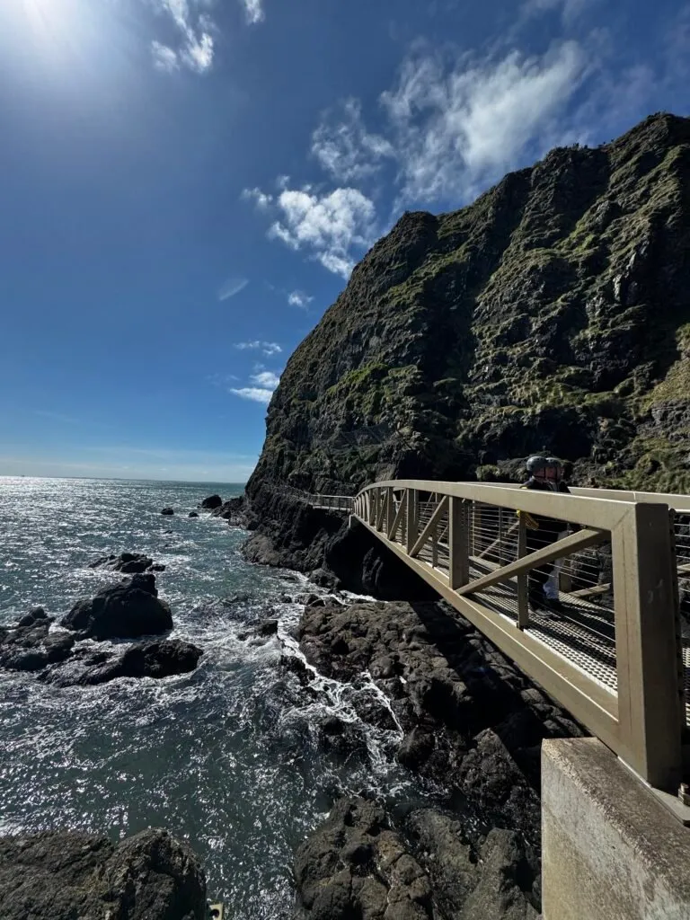
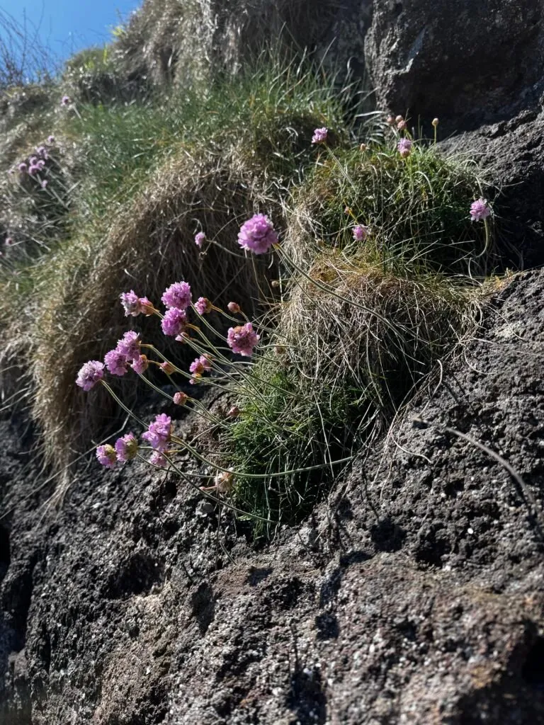
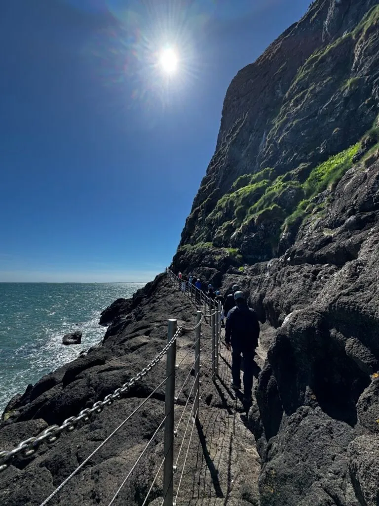
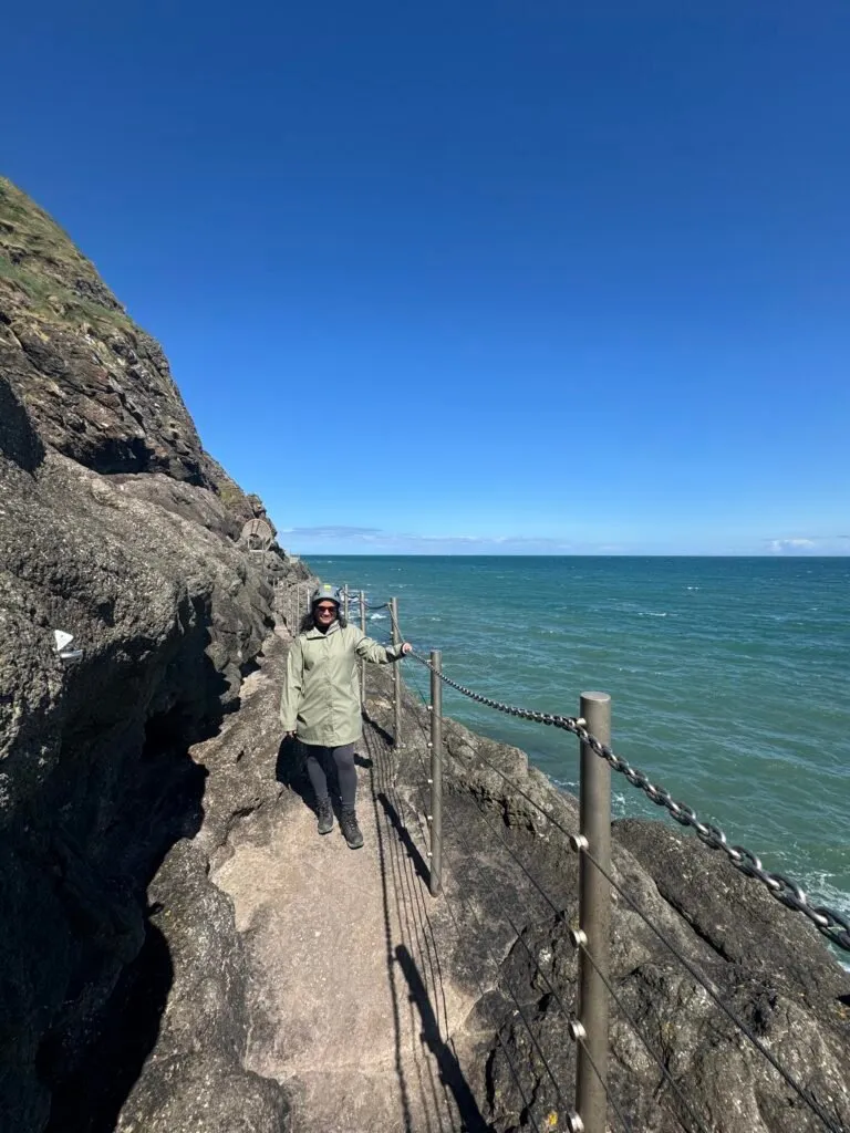
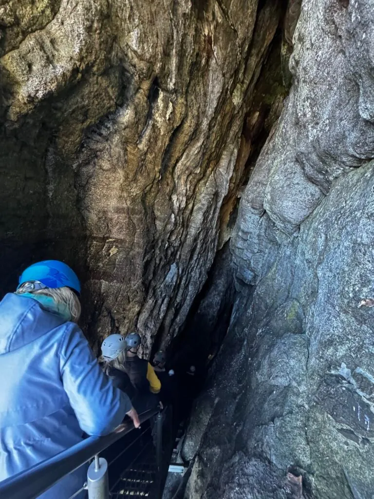
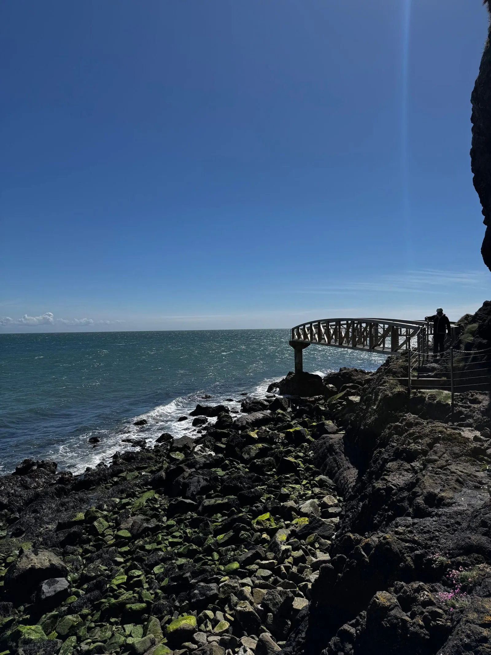
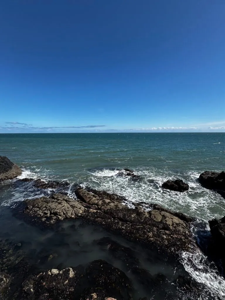
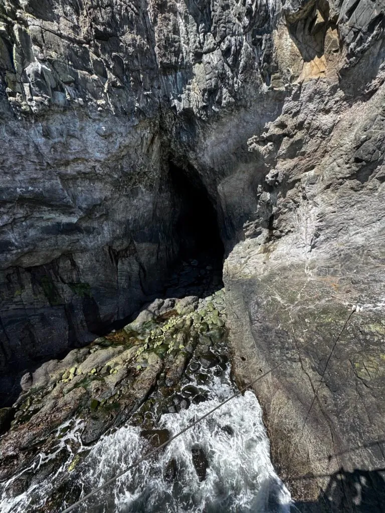
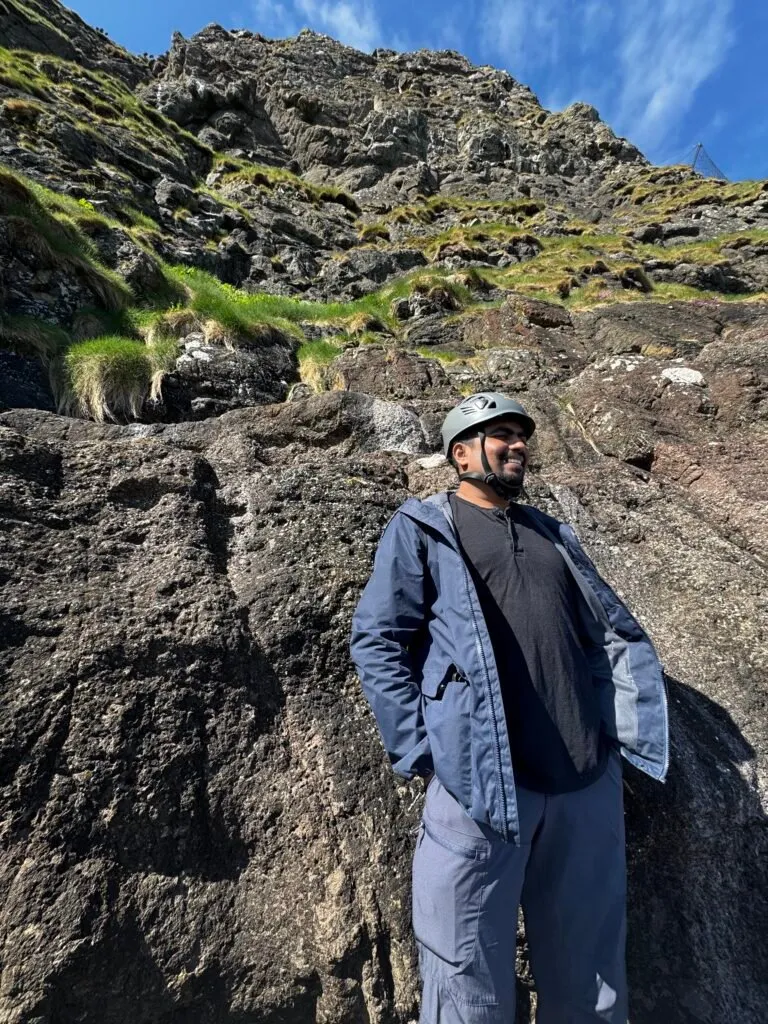
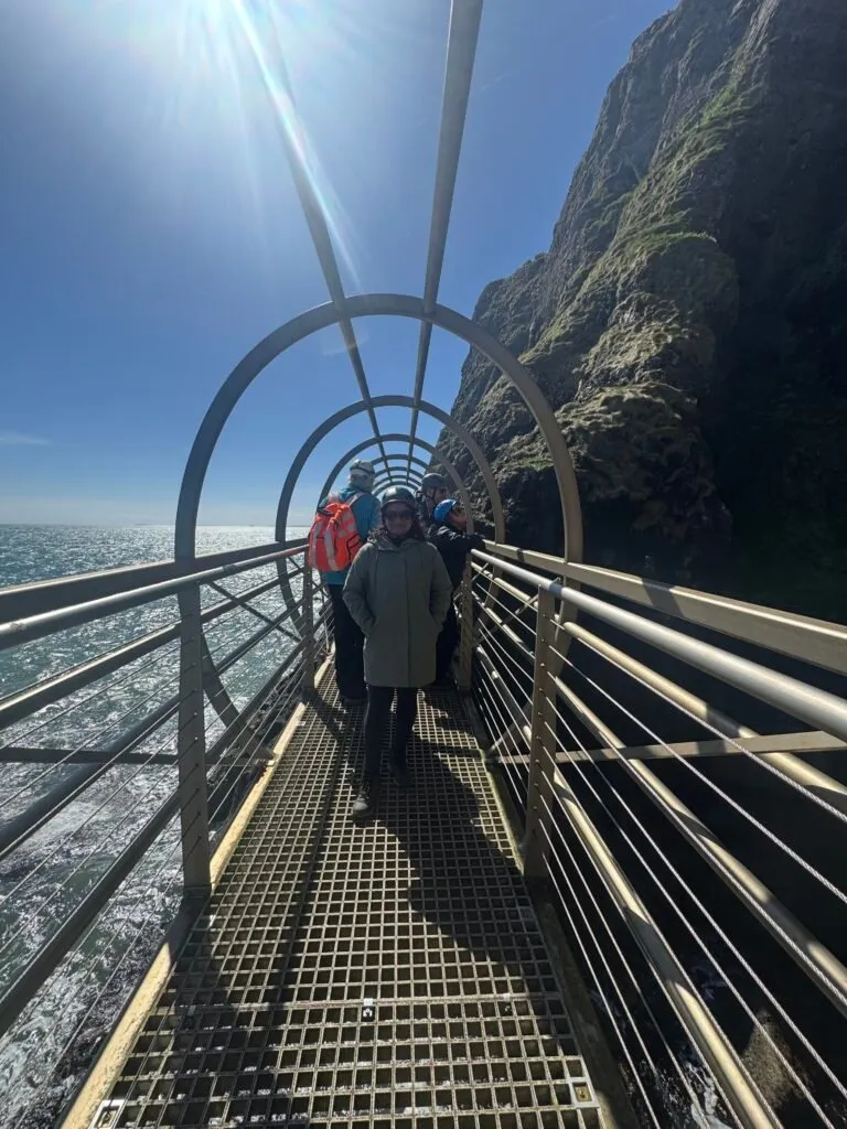
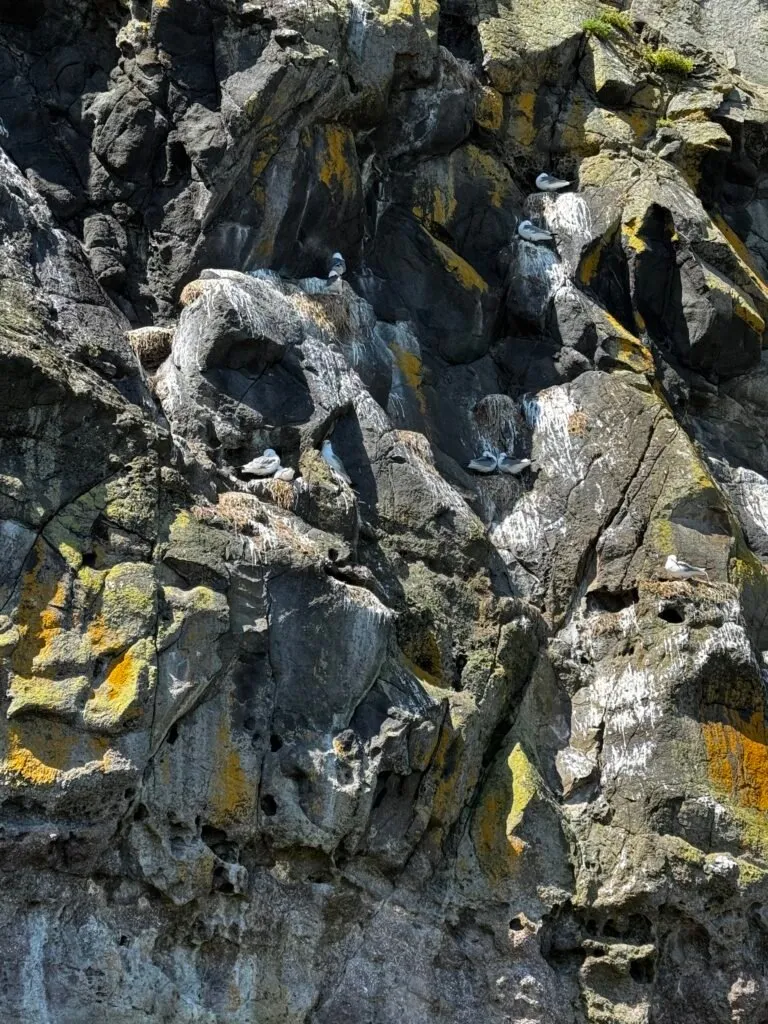
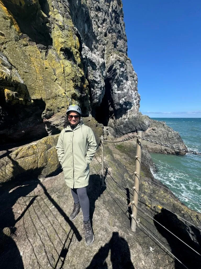
It was an excellent day out in the sun, with a bit of exercise to boot, and we learned quite a bit about the local history, wildlife, and plant life. If you ever find yourself in Northern Ireland for a few days, this walk is highly recommended.

We have numerous places on our bucket list for this spring-summer season, with another trip to the Mourne Mountains possibly being our next pick. We summited Slieve Donard—Northern Ireland’s highest peak—last year, that leaves six more peaks in the mountain range to conquer. Public transport options are limited, but the Mourne Rambler bus service that operates during the summer months seems promising.
Northern Ireland has so much to offer—we’re trying to take it all in, in small doses.
Reference this post: When referencing this post, I prefer to be called Thamara, Thamara Kandabada, or Thamara's Notebook.
Permalink: https://thamara.co.uk/notebook/2026/05/the-gobbins-cliff-walk